Ocean and environmental observation systems
Track Where Water Moves—and What It Carries
Pacific Gyre integrates field-proven instruments, satellite telemetry, and cloud data services for circulation, transport, dispersion, and environmental monitoring.
- Track currents, plumes, spills, larvae, floating materials, and ice
- Validate ocean models, HF radar, and SAR predictions
- Measure temperature, salinity, pressure, and other parameters through the water column
Trusted by national agencies, research universities, and international observing programs.
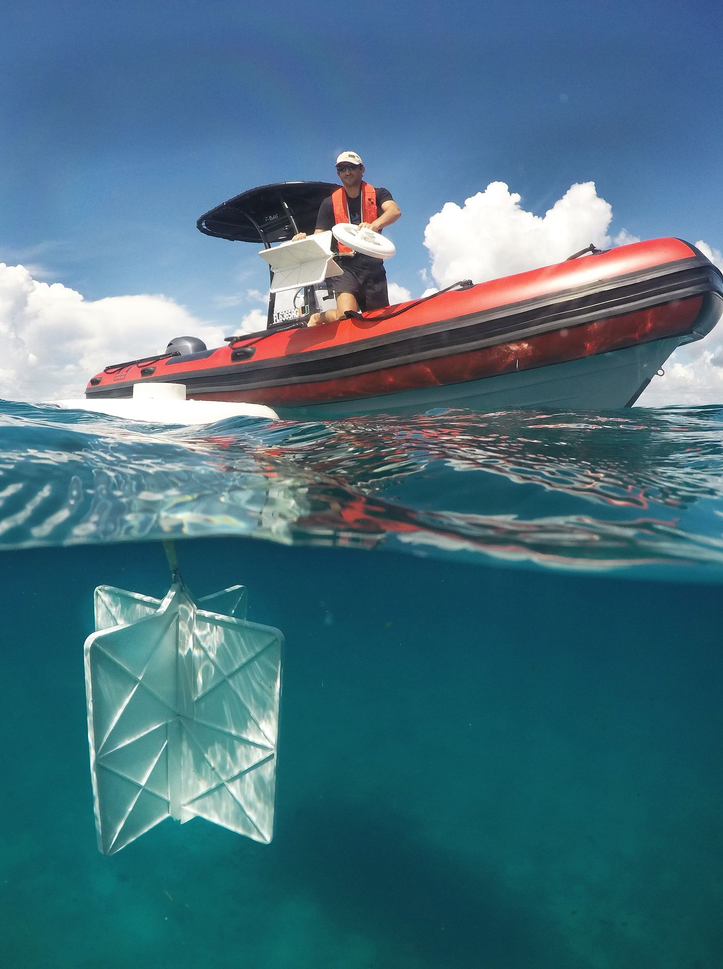
Start with the study objective
Applications for moving water and changing conditions
Explore practical ways to configure drifters, trackers, sensors, telemetry, and data services around the process you need to observe.
Circulation Studies
Observe current pathways, residence, exchange, and connectivity in coastal or open-ocean systems.
Explore circulation studiesLarval Transport
Measure dispersal pathways and connectivity relevant to recruitment, restoration, and ecosystem management.
Explore larval transportDispersion Studies
Quantify spreading, separation, retention, and uncertainty with coordinated Lagrangian arrays.
Explore dispersion studiesOil Spill Tracking
Add direct surface-transport observations to preparedness exercises, response operations, and model evaluation.
Explore oil spill trackingHarmful Algal Bloom Studies
Relate bloom observations to transport pathways, environmental conditions, exposure, and model predictions.
Explore HAB studiesMarine Meteorology
Collect atmospheric and surface-ocean observations from remote locations and moving platforms.
Explore marine meteorologyIntegrated platform families
Move from question to field-ready system
Choose the observation platform, sensor package, reporting plan, and data workflow that fit the operating environment.
Lagrangian Drifters
Follow water parcels at a defined depth.
Satellite Trackers
Add location and telemetry to assets, ice, and floating objects.
Sensor Chains
Profile conditions through the water column.
Data Services
Monitor, manage, download, and integrate observations.
Lagrangian drifters
Observe currents at the depth that matters
Select platform exposure and drogue depth to represent the transport process, study scale, and deployment environment.
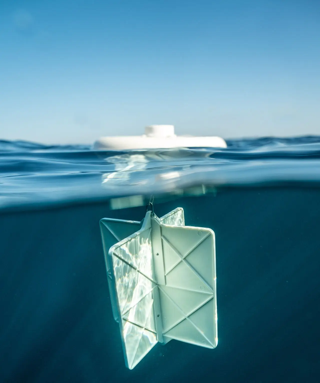
Currents centered near 40 cm
CARTHE
Designed for coordinated arrays that measure surface transport and dispersion.
View CARTHE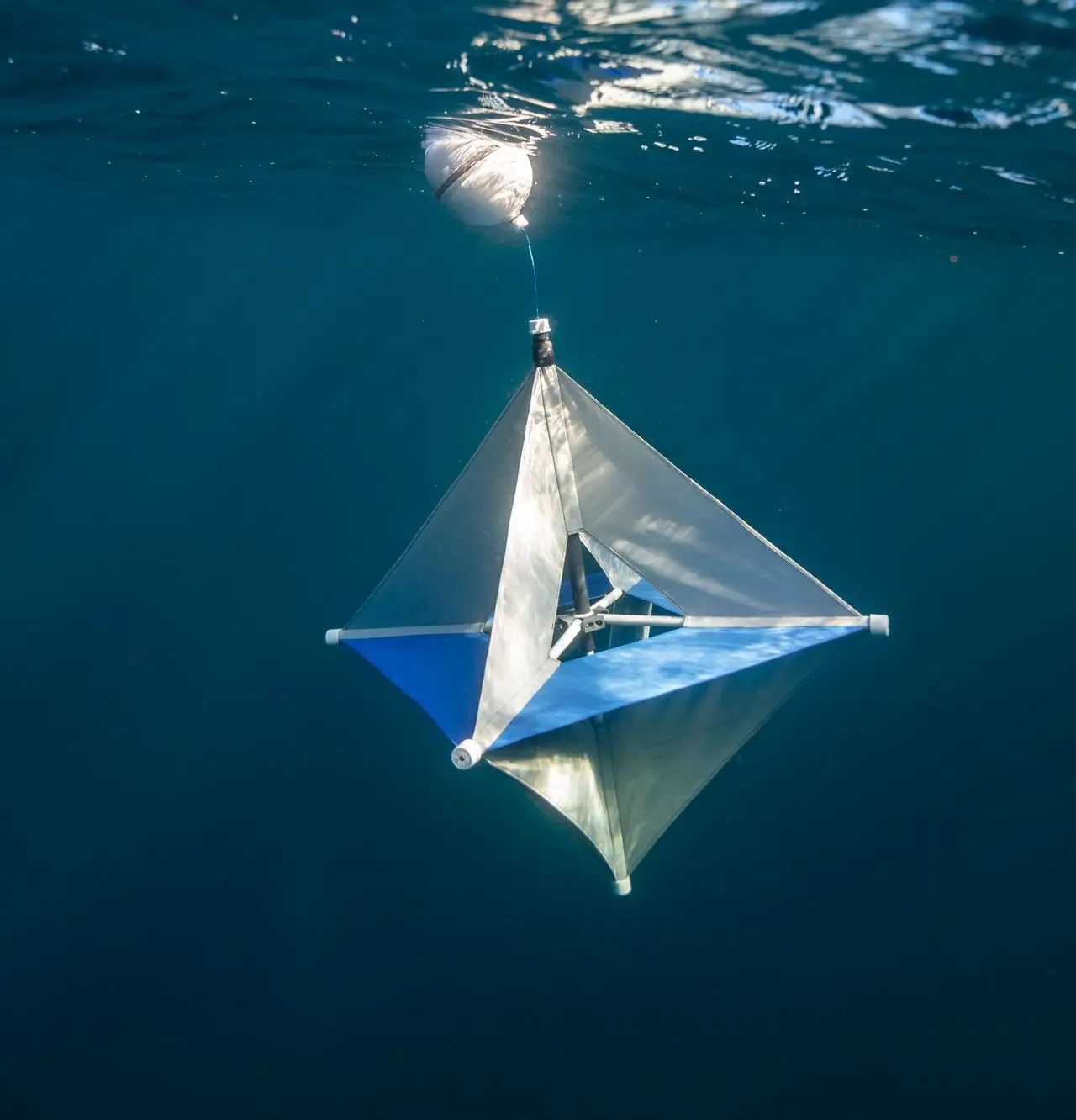
Drogue centered near 1 meter
Microstar
A compact, drogued platform for shallow coastal currents and constrained deployments.
View Microstar
Near-surface flow around 20 cm
Reef
A tetherless option for shallow water and locations where a conventional drogue could snag.
View Reef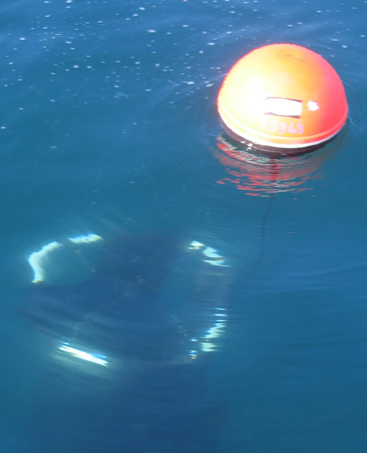
Configurable from 5 to 50 meters
SVP
The open-ocean standard for mixed-layer currents, with configurable depths and sensor payloads.
View SVP optionsSatellite trackers
Track remote assets, ice, and floating objects
Combine GNSS positions, optional sensors, and satellite communication in application-specific housings.
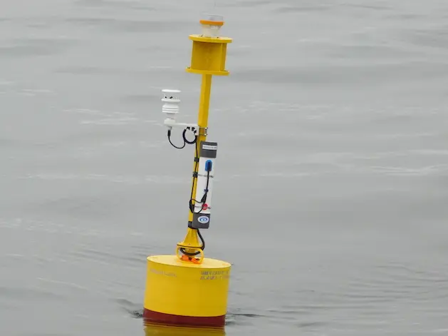
GloBeacon
Add tracking, satellite telemetry, and sensor integration to a boat, buoy, or remote asset.
View GloBeacon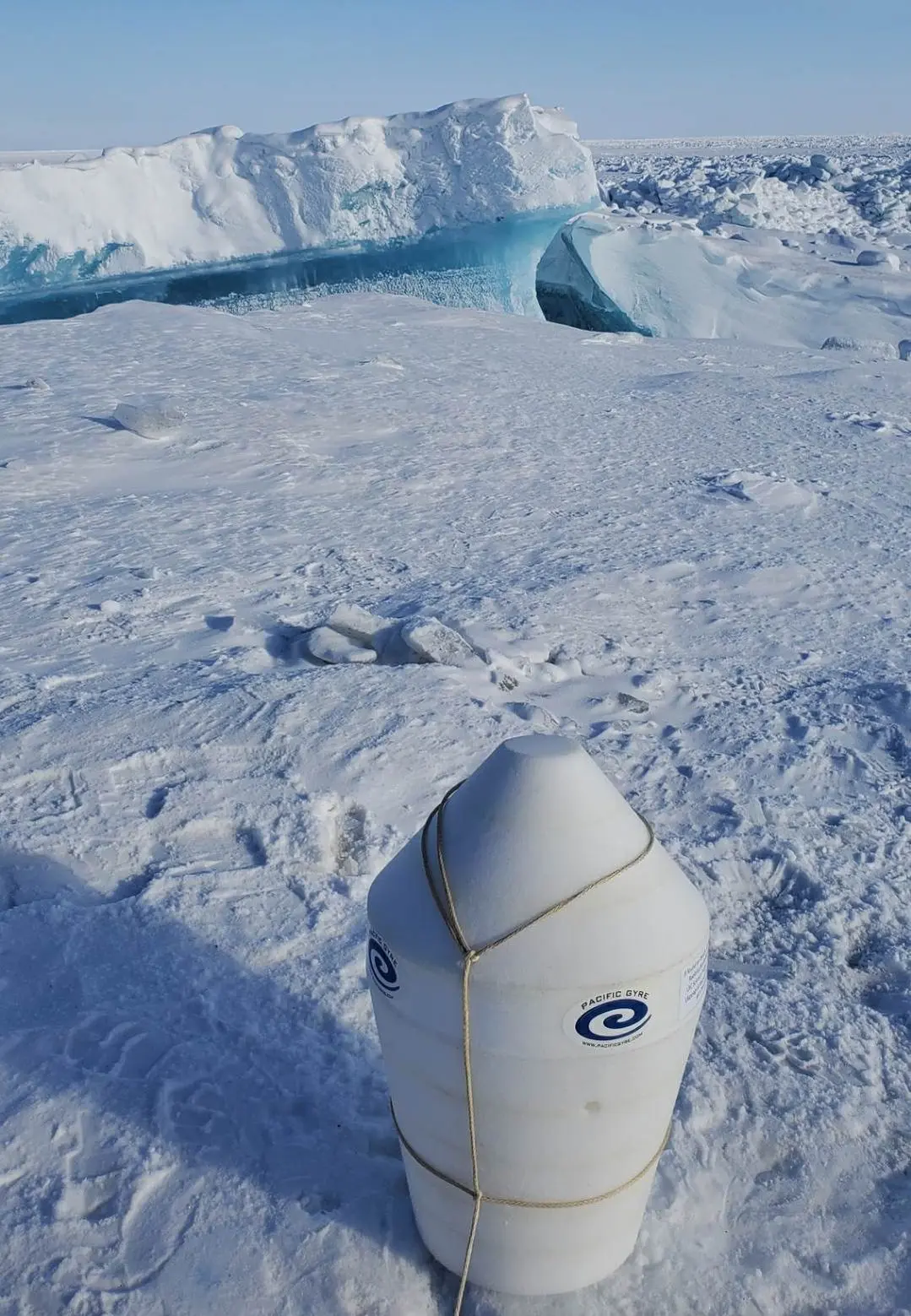
Ice Tracker
Observe ice motion and environmental conditions with a rugged, air-deployable platform.
View Ice Tracker
Universal Tracker
A configurable smart float for locating drifting objects and collecting optional sensor observations.
View Universal TrackerSensor chains
Profile environmental conditions through the water column
Build a durable, application-specific vertical array for long-term observations in the open ocean, coastal waters, or beneath ice.
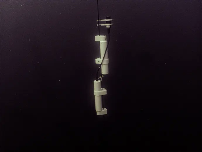
Configurable sensors
Integrate temperature, salinity, pressure, optical, camera, and other compatible measurements.
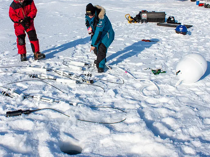
Lengths to 200 meters
Sample vertical structure across the water column in open-ocean and under-ice programs.

Inductive communication
Communicate over the tether strength member and avoid fragile small-gauge signal wires.
Cloud data services
Turn field observations into accessible data
Monitor platform health, review tracks and measurements, adjust supported settings, and bring observations into your own workflows.
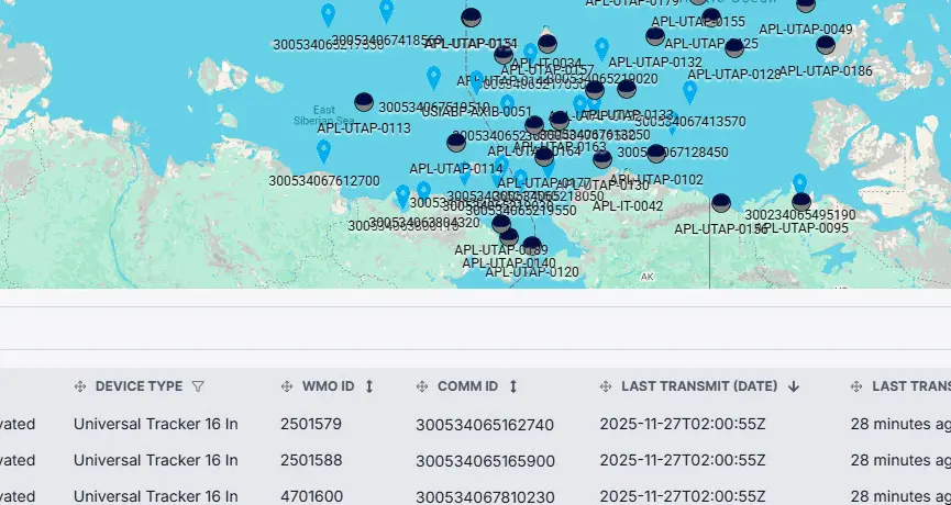
Dashboard and map
See platform status, latest positions, trajectories, and fleet context.
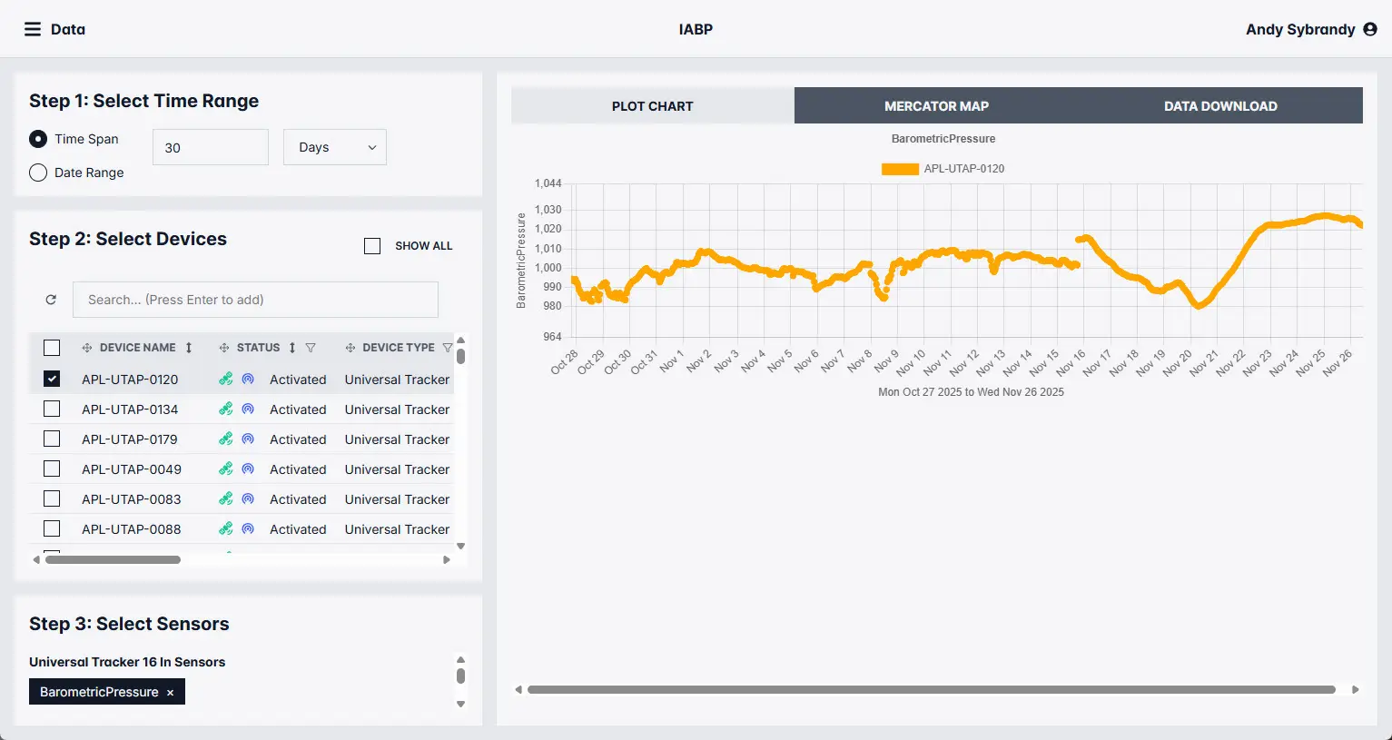
Chart and download
Review measurements and export observations for analysis and reporting.
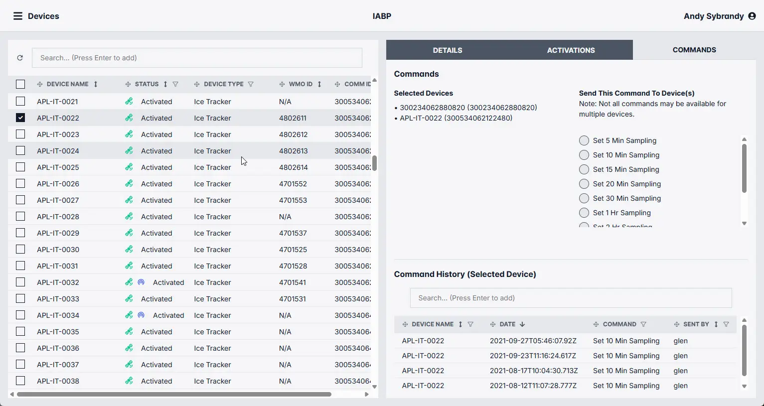
Command and provision
Manage supported sampling, reporting, and telemetry settings remotely.
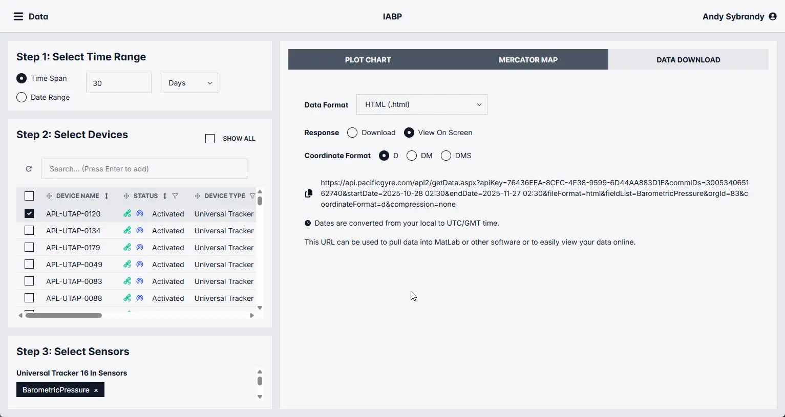
API integration
Connect observations to models, GIS, dashboards, and automated systems.
Why Pacific Gyre
One team across platform, telemetry, and data
Reduce integration risk with systems designed around the full observation workflow—from deployment through data access.
Lagrangian expertise since 1994
Decades of experience with real-world ocean deployments and transport studies.
Integrated systems
Platforms, sensors, telemetry, power, and cloud services engineered to work together.
Supported in Oceanside
Systems designed, built, integrated, and supported in Oceanside, California.
Configurable programs
Match platform, sensors, reporting interval, duration, and data delivery to the study.
Tell us what you need to measure
Share the study objective, operating environment, target depth, expected duration, and data needs. We will help identify a practical platform and configuration.