Circulation studies
Turn water movement into tracks you can measure
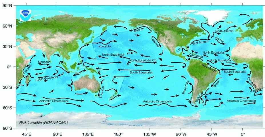
Use GNSS-tracked Lagrangian drifters to observe current pathways, exchange, retention, and dispersion from shallow coastal waters to the open-ocean mixed layer.
Observe pathways that fixed instruments cannot show
A current meter measures water velocity at one location. A Lagrangian drifter moves with a selected portion of the water column, revealing where that water goes and how neighboring trajectories separate through time.
When the drifter design and current-following depth match the research question, coordinated releases provide direct observations for circulation mapping, transport estimates, model evaluation, and operational decisions.
Pathways and exchange
Map circulation through bays, reef passages, estuaries, coastal zones, and the open ocean.
Transport and dispersion
Observe the movement and spreading of water associated with outfalls, pollutants, floating material, or larvae.
Model validation
Compare measured trajectories with hydrodynamic and particle-tracking model predictions.
Field operations
Use near-real-time positions to support adaptive sampling, search planning, and asset recovery.
Build the experiment around the physical question
1Define the target depth
Choose the water layer whose motion matters—not simply the smallest or least expensive platform.
2Plan coordinated releases
Use replicate drifters, clusters, transects, or releases across tidal and wind conditions to capture variability.
3Track the array during deployment
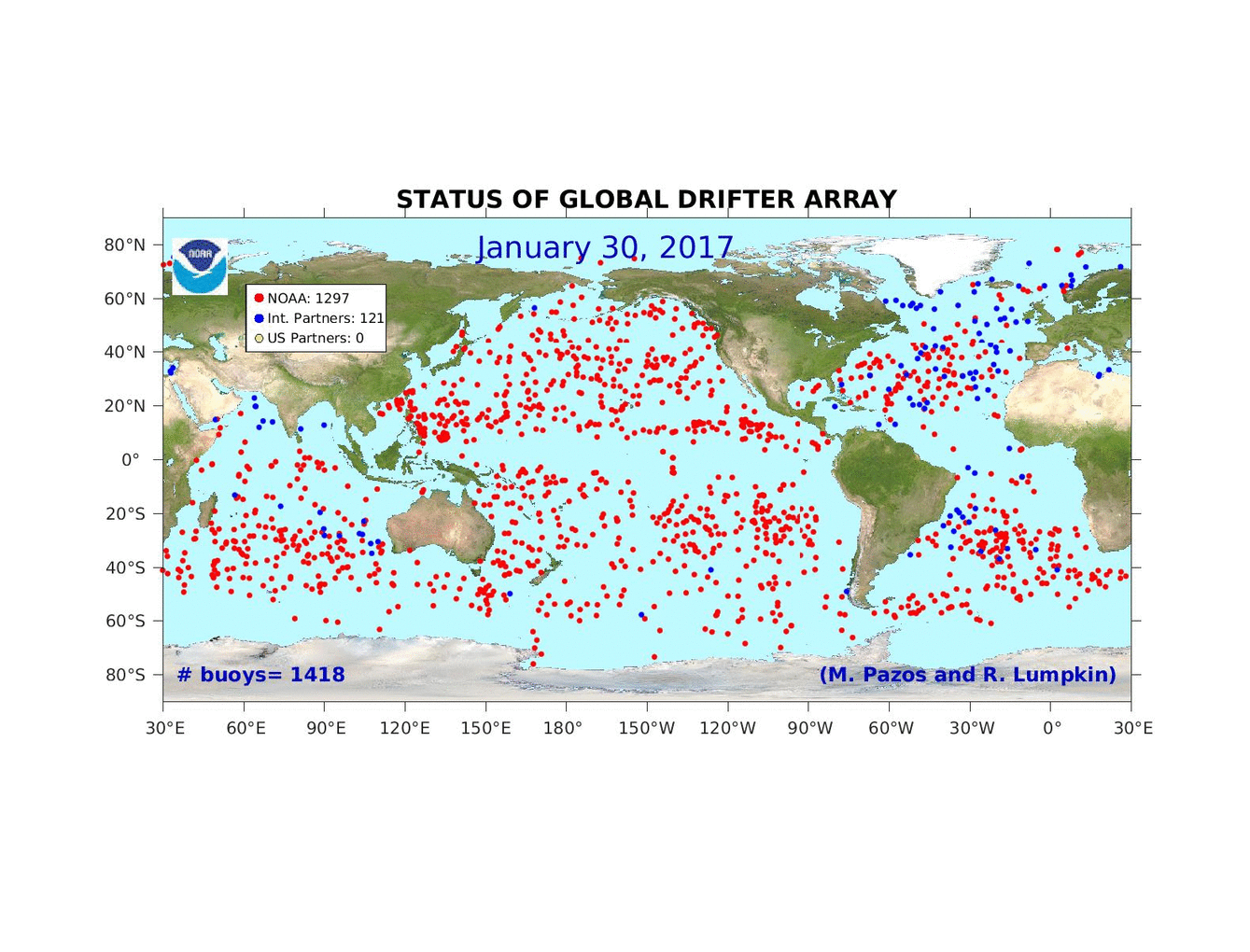
Review near-real-time positions and array status through Pacific Gyre's browser-based data system.
4Analyze trajectories and dispersion
Download archived observations for GIS, numerical analysis, model comparison, and reporting.
Match the platform to the current-following depth
Pacific Gyre drifters span very shallow surface circulation through deeper mixed-layer measurements.
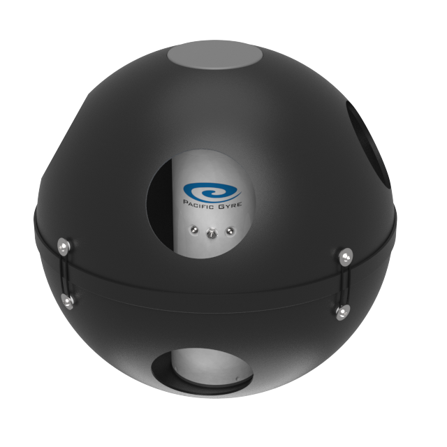
Approximately 20 cm
Reef Drifter
A tetherless, semi-submerged design for near-surface circulation in shallow environments where conventional drogues could snag.
View Reef Drifter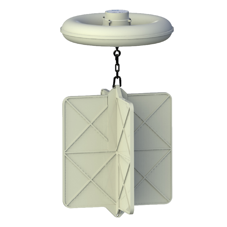
Currents centered at 40 cm
CARTHE Drifter
A low-cost platform suited to large arrays for coastal circulation, transport, and relative-dispersion experiments.
View CARTHE Drifter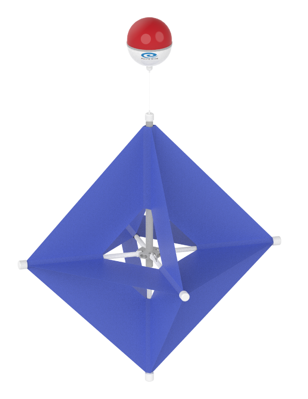
Drogue centered at 1 meter
Microstar Drifter
A compact drogued platform designed for coastal and shallow-water circulation, dispersion, and environmental studies.
View Microstar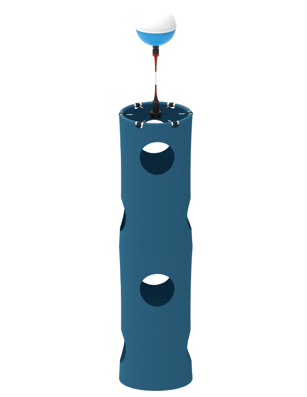
Standard 15 m; configurable depth
SVP Drifter
A robust platform for mixed-layer currents, with a high-drag holey-sock drogue and configuration options for different depths and sensors.
View SVP DrifterTelemetry and data services
See the array in the field and retain the complete record
Pacific Gyre's data system receives drifter observations, converts measurements to scientific units, displays positions and device status, and archives the data for later analysis.
Use browser downloads or the API to integrate observations into GIS, MATLAB, Python, spreadsheets, dashboards, and modeling workflows.
Explore data services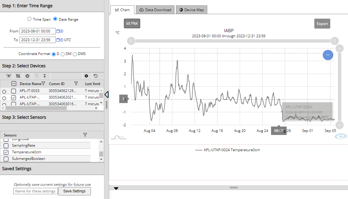
Plan a circulation study that measures the right water layer
Tell us about the environment, target depth, deployment duration, release strategy, and required sensors. We will help you select an appropriate platform and configuration.