Harmful algal bloom studies
Track the water pathways that move and concentrate blooms
Use GNSS-tracked Lagrangian drifters with biological sampling, remote sensing, sensors, and models to investigate bloom transport, retention, convergence, and exposure pathways.
Separate physical transport from biological change
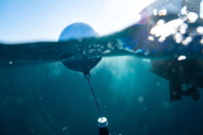
A harmful algal bloom changes through growth, mortality, grazing, buoyancy, and vertical migration while currents transport and reshape it. Drifters directly observe the physical pathways of selected water layers.
Pairing trajectories with species identification, toxin measurements, water-quality observations, satellite products, and hydrodynamic models provides a more defensible picture of where a bloom may move and why its concentration changes.
Transport pathways
Observe whether water carrying a bloom moves toward beaches, aquaculture sites, intakes, or neighboring habitats.
Retention and convergence
Identify circulation features that retain water locally or bring trajectories together.
Adaptive sampling
Use near-real-time tracks to guide vessels and sampling teams toward evolving transport features.
Model evaluation
Compare observed pathways and spreading with circulation and particle-tracking model predictions.
Design the release around the bloom and its depth
1Define the biological target
Document the species, life stage, toxin of concern, buoyancy, and known vertical behavior.
2Select the transport depth
Choose a drifter whose current-following behavior represents the water layer carrying the bloom.
3Deploy across the feature
Use clusters, boundary releases, transects, and repeat deployments to measure pathways and spreading.
4Coordinate observations
Combine tracks with biological samples, water-quality sensors, winds, satellite imagery, and model output.
Build an integrated observing strategy
Drifter trajectories provide the physical framework for interpreting biological and environmental measurements.
Position and time
GNSS observations define transport pathways, speed, direction, separation, and residence time.
Physical conditions
Temperature, salinity, winds, and circulation help explain bloom growth and transport conditions.
Biological sampling
Discrete samples or appropriate instruments identify organisms and quantify cells, pigments, or toxins.
Models and imagery
Remote sensing and models extend spatial coverage and place observed tracks in a larger context.
Choose a platform for the relevant water layer
Platform selection should follow the expected bloom depth, environment, array size, and sensor requirements.
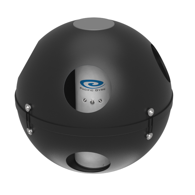
Approximately 20 cm
Reef Drifter
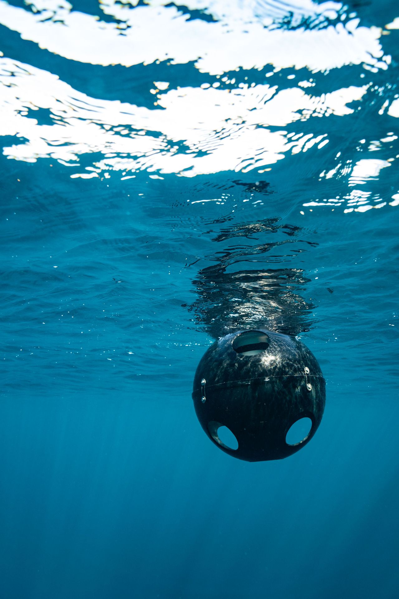
A tetherless, semi-submerged platform for near-surface transport in shallow areas where conventional drogues could snag.
View Reef Drifter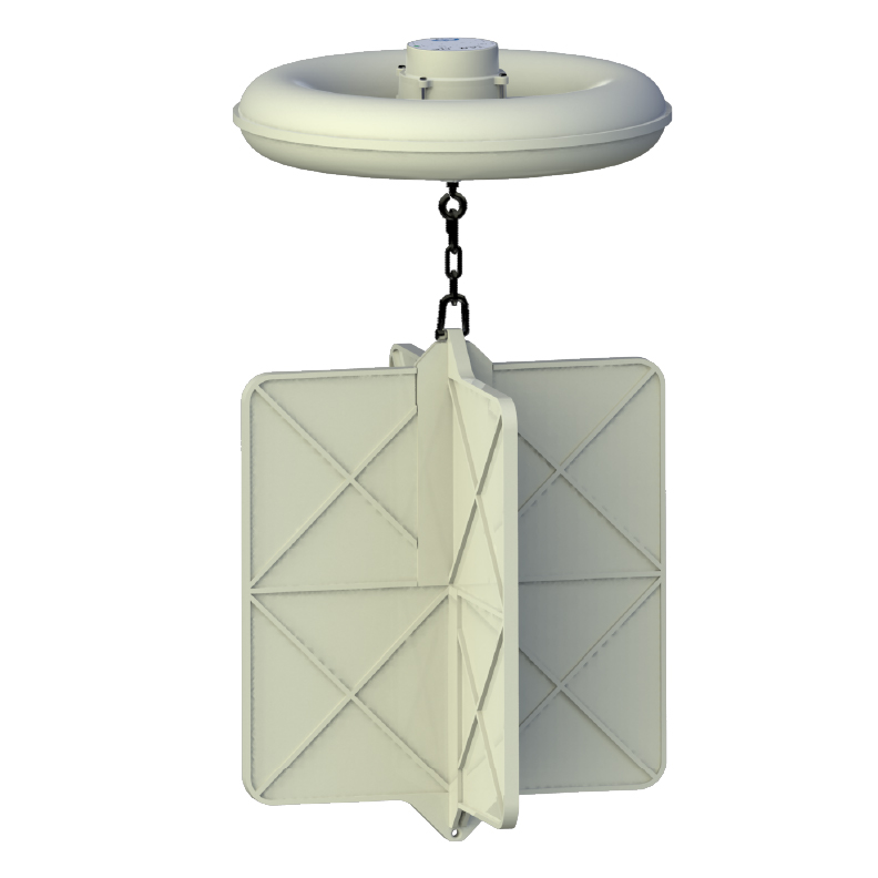
Currents centered at 40 cm
CARTHE Drifter
A low-cost platform suited to large coastal arrays for transport, retention, and dispersion experiments.
View CARTHE Drifter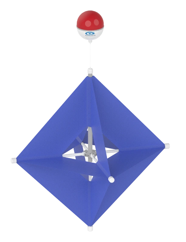
Drogue centered at 1 meter
Microstar Drifter
A compact coastal drifter with optional surface-temperature measurement and commandable Iridium configurations.
View Microstar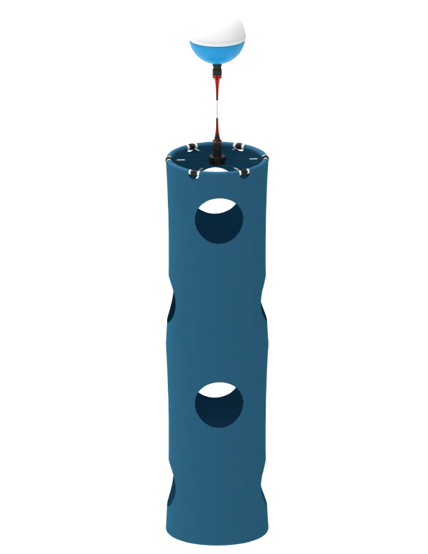
Standard 15 m; configurable depth
SVP Drifter
A robust mixed-layer platform with configurable drogue depth and options for temperature, salinity, and other sensors.
View SVP DrifterTelemetry and field operations
Follow transport pathways while the bloom evolves
Pacific Gyre's data system receives drifter positions and device status, displays the array on a browser-based map, and archives observations for analysis.
Near-real-time tracking can support adaptive sampling and response planning. Browser downloads and the API support integration with GIS, MATLAB, Python, dashboards, models, and research databases.
Explore data services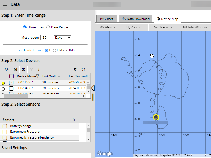
Plan a harmful algal bloom transport study
Tell us about the species or toxin of concern, water depth, environment, array size, reporting interval, deployment duration, and complementary sampling. We will help identify an appropriate platform and configuration.