Oil spill tracking
Observe where surface waters carry a spill
Deploy GNSS-tracked Lagrangian drifters to follow transport pathways, spreading, retention, and shoreline approach during preparedness exercises, response operations, and model-validation studies.
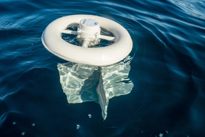
Add direct observations to the response picture
Forecasts guide decisions. Drifter tracks show how the water is actually moving at the time and place of deployment.
Use one or more drifters to observe transport direction and speed, evaluate forecast trajectories, identify divergence among nearby water parcels, and document movement through coastal and offshore environments.
Incident response
Deploy near an observed or suspected release to add field evidence about surface transport pathways.
Preparedness exercises
Practice deployment, tracking, communications, recovery, and decision workflows without releasing a tracer.
Model evaluation
Compare observed trajectories, arrival timing, and spreading with operational forecast and hindcast products.
Post-event analysis
Archive a time-stamped record of surface-water movement for after-action review, training, and reporting.
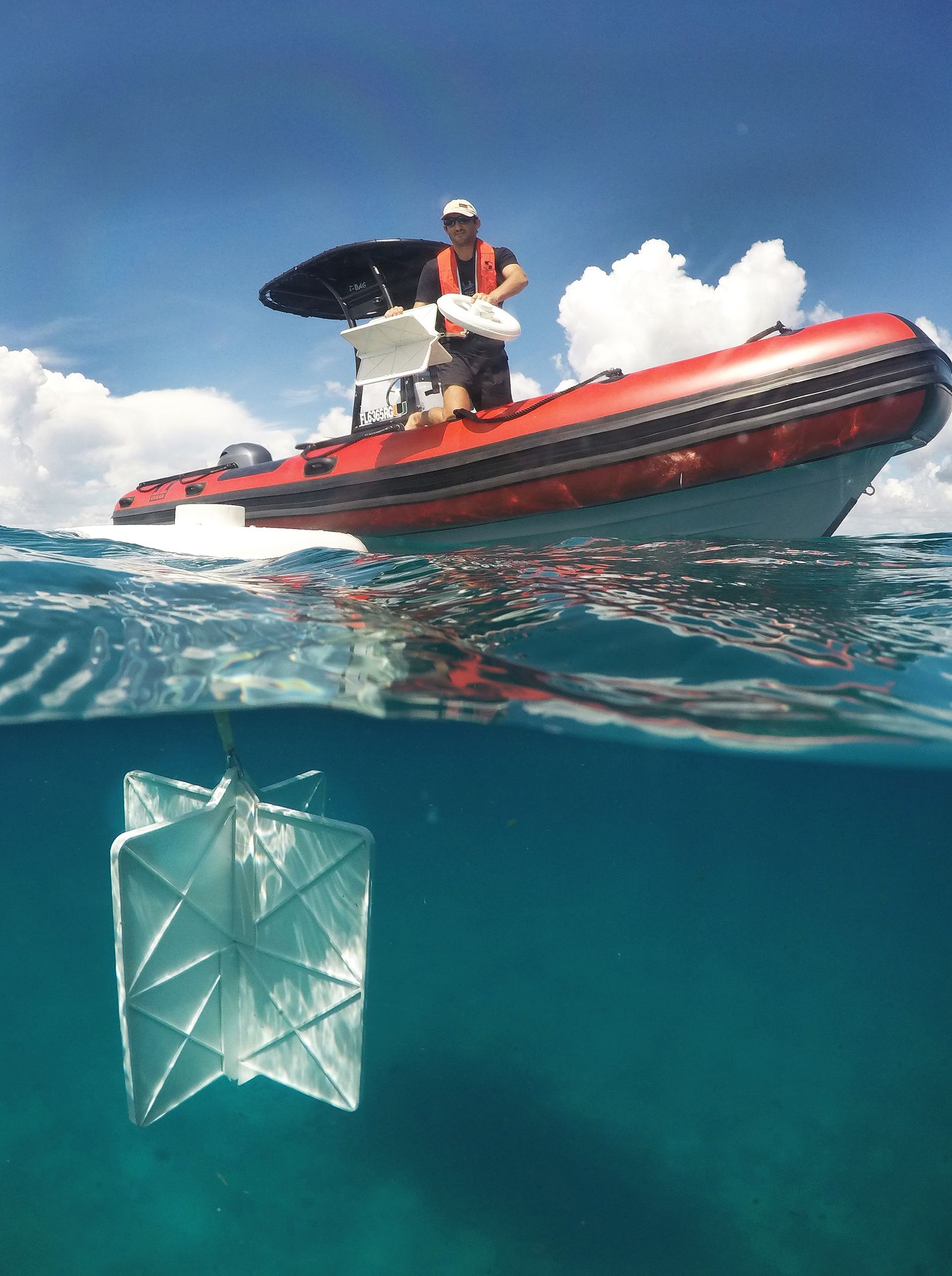
Match the drifter to the transport process
A useful deployment begins by defining what the drifter should represent.
Surface oil, emulsified oil, and subsurface water do not move identically. Winds, waves, currents, buoyancy, evaporation, spreading, entrainment, and weathering all affect a real spill. Select platform exposure, current-following depth, array geometry, and reporting rate around the operational question.
Build tracking into the response workflow
Define the decision
Identify whether the priority is trajectory confirmation, boundary tracking, shoreline approach, model skill, or training.
Plan the deployment
Select deployment locations, number of drifters, spacing, redundancy, reporting interval, and recovery criteria.
Monitor the tracks
Review positions and device status through a browser-based map during field operations.
Adapt and document
Use observations to guide follow-on deployments and preserve the data for model comparison and review.
From positions to decisions
Use the tracks to evaluate movement and uncertainty
Single-platform trajectories and coordinated arrays provide complementary evidence throughout an exercise or response.
Path and speed
Observe direction, travel distance, velocity, and changes along the trajectory.
Spreading
Use an array to measure separation and the changing footprint of nearby water parcels.
Area approach
Track movement toward shorelines, sensitive resources, channels, or operational boundaries.
Forecast skill
Compare predicted and observed tracks, timing, direction, and trajectory envelopes.
Choose a platform for the surface layer and operating environment
Platform windage, current-following depth, deployment scale, telemetry, and service life should match the tracking objective.
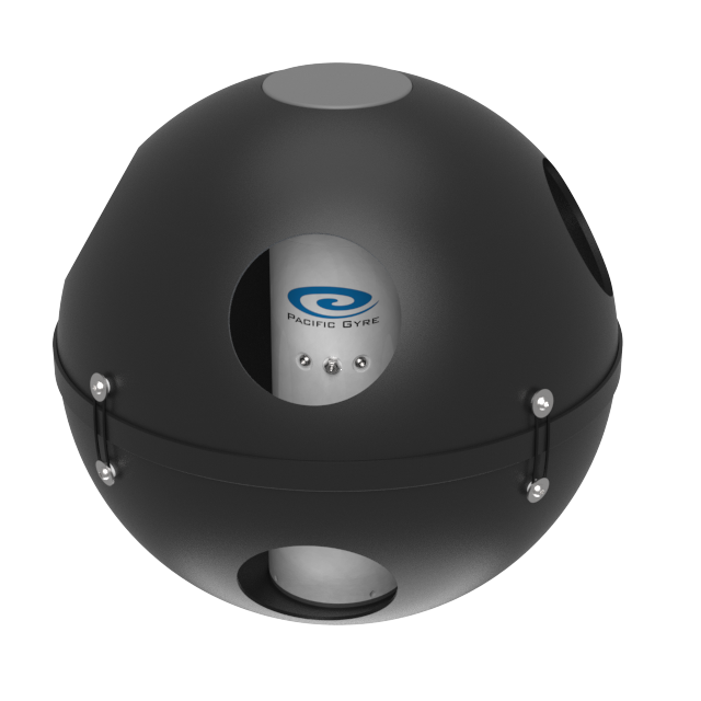
Approximately 20 cm
Reef Drifter
A tetherless near-surface platform for shallow water and environments where conventional drogues could snag on obstructions.
View Reef Drifter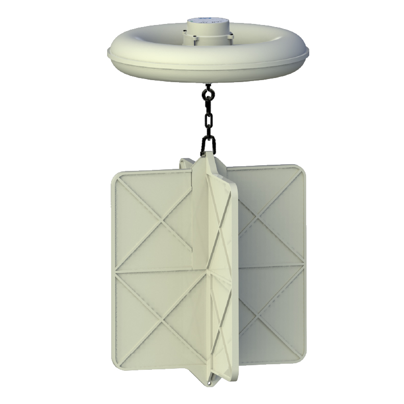
Currents centered at 40 cm
CARTHE Drifter
A low-cost Lagrangian platform suited to coordinated coastal arrays for surface transport and dispersion measurements.
View CARTHE Drifter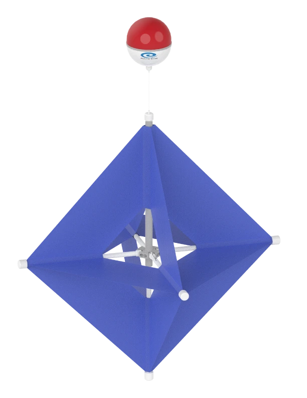
Drogue centered at 1 meter
Microstar Drifter
A compact drogued platform for observing shallow coastal currents beneath the immediate surface.
View MicrostarTelemetry and data access
Follow drifter positions during operations
Pacific Gyre's data system receives GNSS positions and device status, displays tracked platforms on a browser-based map, and archives observations for later analysis.
Download data through the browser or API for use in GIS, modeling tools, dashboards, spreadsheets, and after-action products.
Explore data services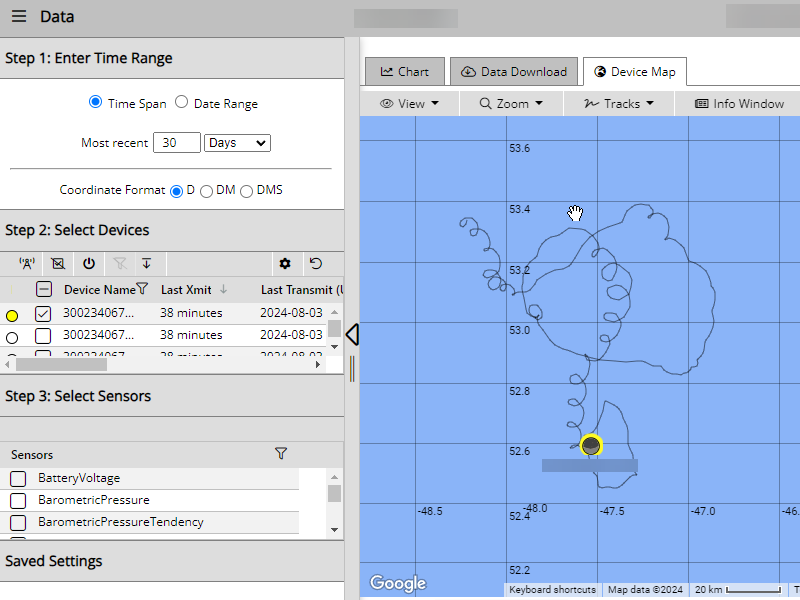
Plan an oil-spill tracking deployment before it is needed
Tell us about the operating area, response objective, target surface layer, deployment scale, reporting interval, expected duration, and recovery plan. We will help identify an appropriate platform and configuration.