This site requires Javascript.

Circulation Studies

  • Circulation Studies Map courtesy of Rick Lumpkin, NOAA
  • temperature map Map courtesy of Rick Lumpkin, NOAA
  • tracking an oil spill Photo courtesy of NOAA
  • The Global Drifter Array Map courtesy of NOAA
  • Circulation Studies
  • temperature map
  • tracking an oil spill
  • The Global Drifter Array

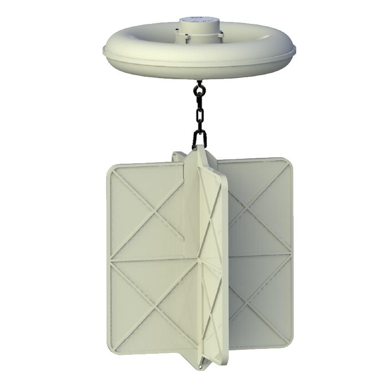
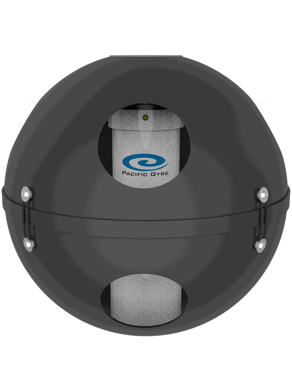
Pacific Gyre drifting buoys have been instrumental in the study of ocean currents since the inception of the Global Drifter Program.

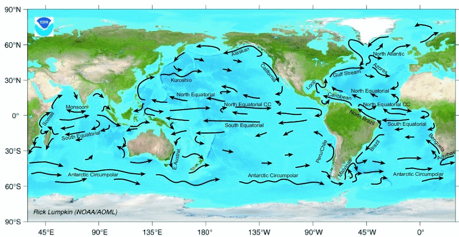
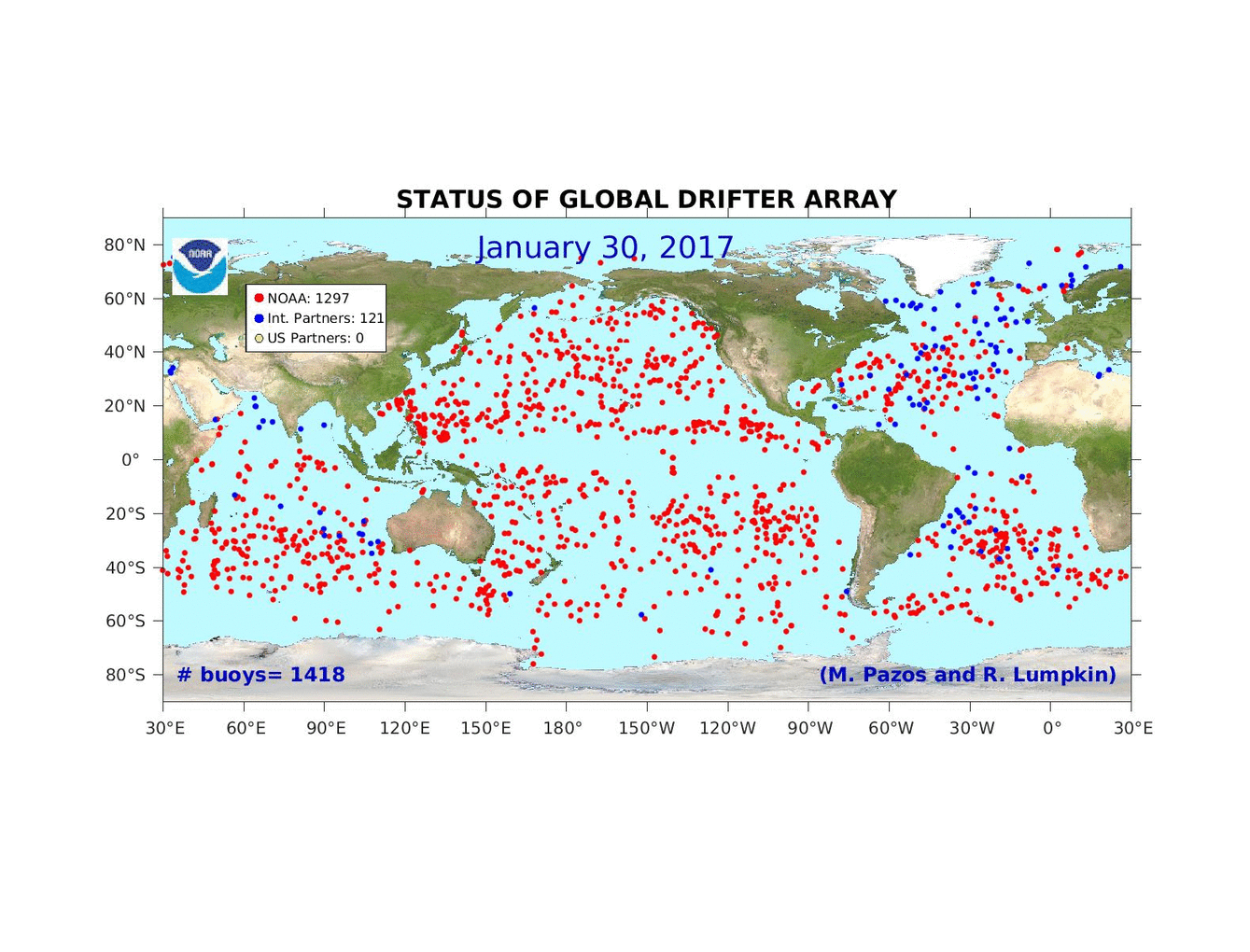
Circulation data are used for climate studies, forecasting, tracking oil or other floating materials and species tracking.

Understanding ocean currents is vital for operations involving navigation, search and rescue and the dispersal of pollutants.

Microstar drifting buoy at sea
"We utilize Pacific Gyre GPS/ Mobitex™ "Microstar" drifters to observe and study near-shore ocean circulation off the Southern California coast. The drifters record their position with GPS every 10 minutes and transmit their position data in near real-time to a web-based host computer using the Mobitex narrow band, data-only, cellular communications system... The drifters give direct observations of paths taken by freely floating objects at the ocean surface such as spilled oil, other pollutants, or things lost at sea." - University of California, Santa Barbara
Version: 1.191.18186.14409 11/6/2020
en-US
[+]
close
Need more information? We would be happy to answer your questions.